

Provincial Government Releases Draft Flood Hazard Maps
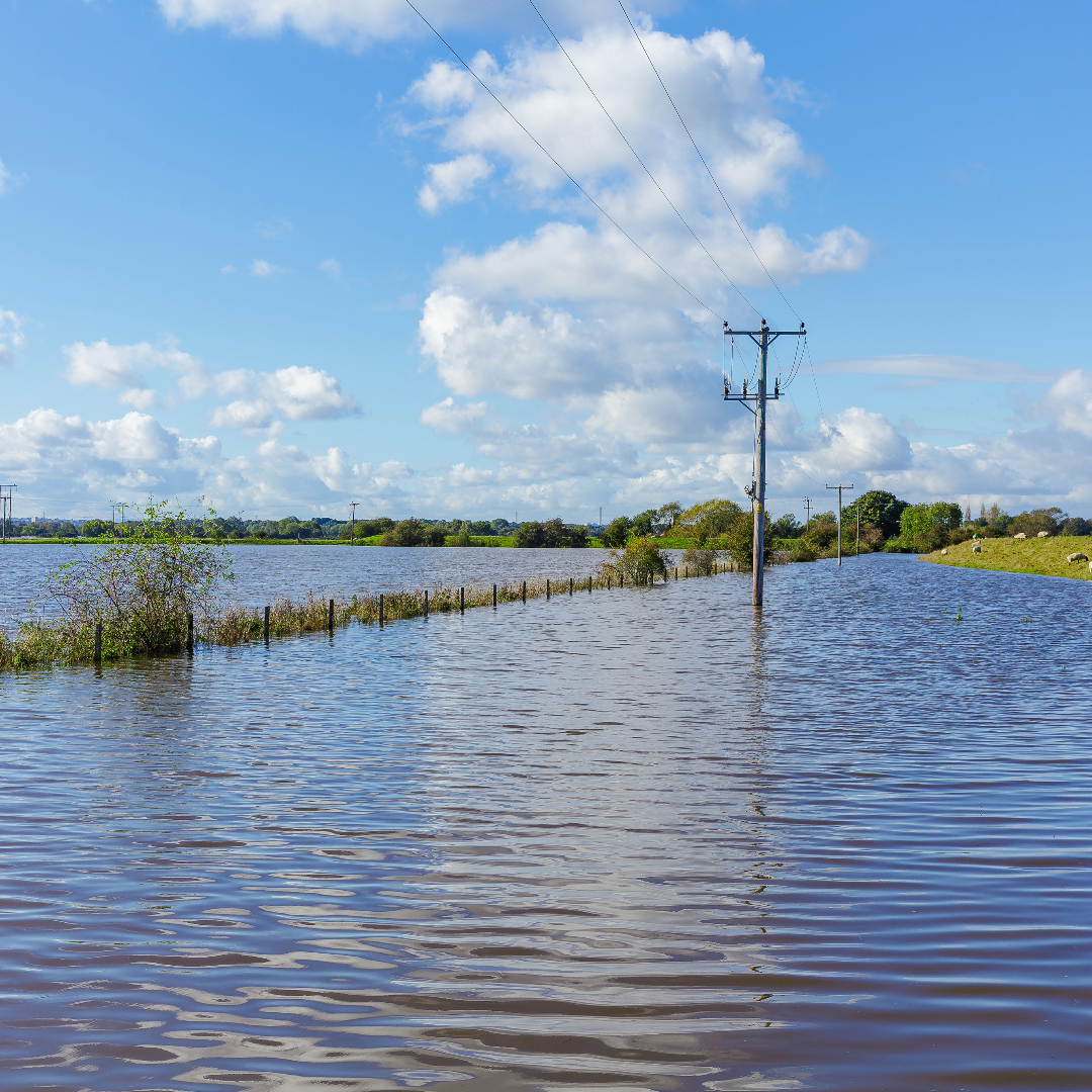
The provincial government has released draft flood hazard maps meant to improve public safety, support emergency management, and help build safer and more resilient communities over the long term. Feedback will help ensure this work is technically sound. You do not need to be an engineer or flood expert to view or provide feedback. The provincial government will carefully consider all feedback received and will revise the draft flood hazard maps to address technical errors, as appropriate.
To view the interactive flood hazard maps click here.
To share your thoughts and for further information please click here.
Deadline for feedback is February 12, 2024.